


THE MET Office has extended its weather warnings for Salisbury - as well as the whole of the UK - for severe thunderstorms to last until Monday.
Here's the latest from the forecaster.
How long will the thunderstorm warnings be in place for?
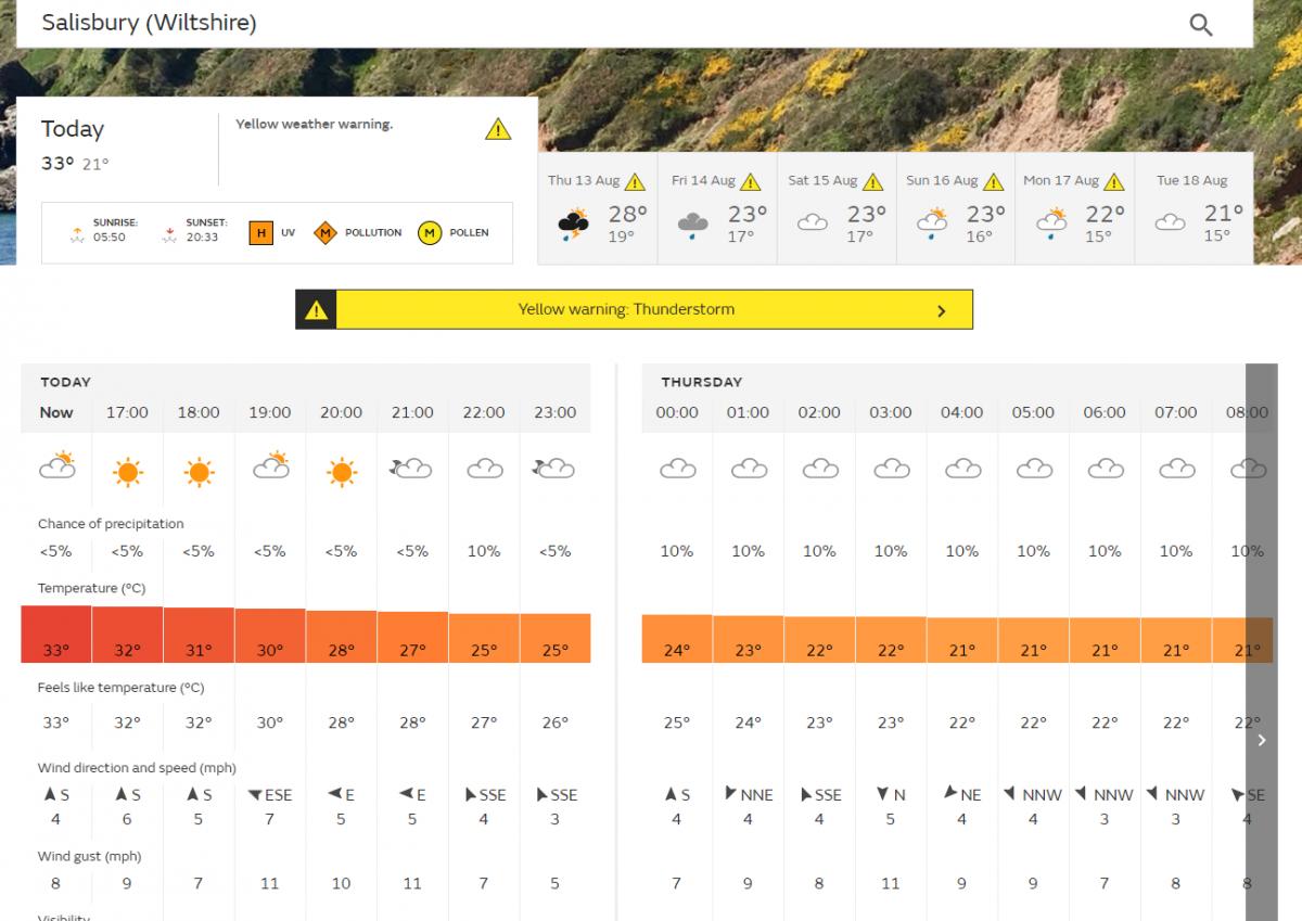
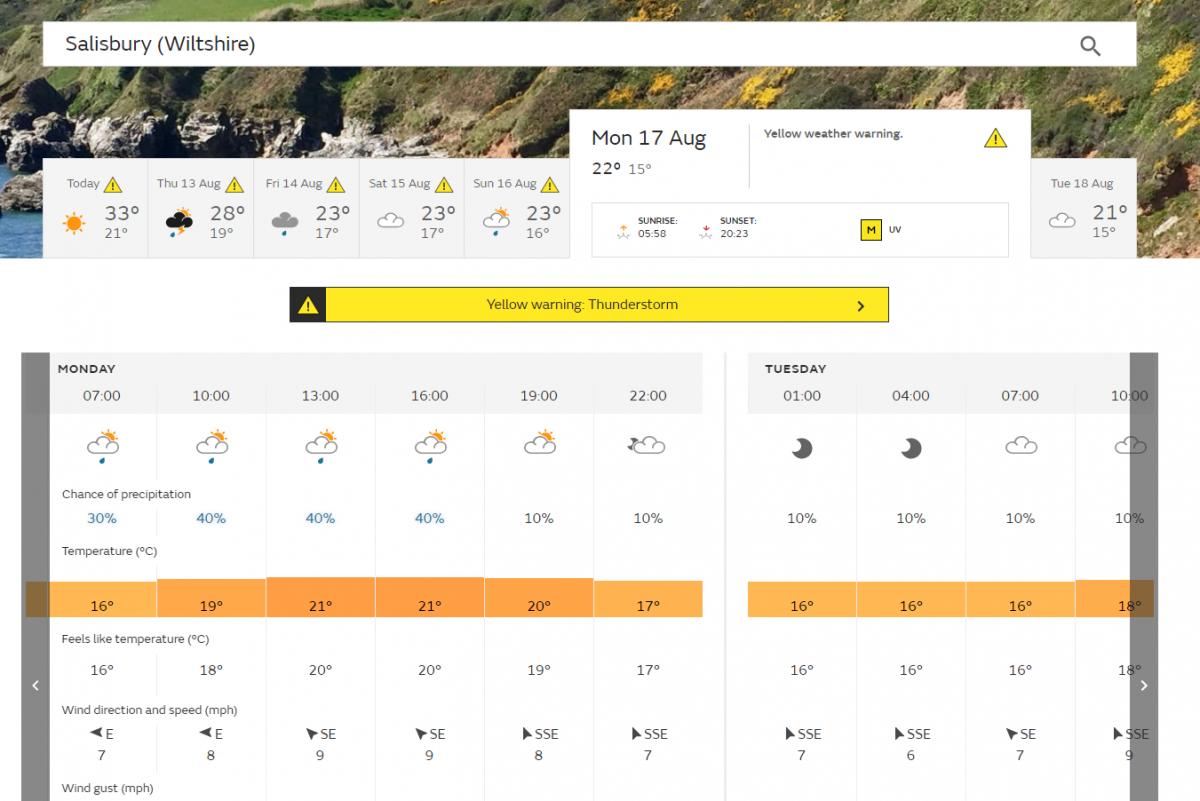
Thunderstorm warnings will continue across much of the UK until Monday, August 17, with a risk of impacts from heavy rain, flash flooding, lightning and hail.

What have the Met Office said?
The current hot weather creates ideal conditions for thunderstorms.
Chief Meteorologist Paul Gundersen said; “Today (August 12) warnings cover much of England, away from the east coast, Wales and parts of Scotland.
"The storms will be isolated but where they happen there will be frequent lightning, gusty winds and intense, heavy downpours with 30 to 40mm of rain possible in less than an hour and, in isolated spots, a small chance of 60 mm falling.
“With the continuing hot weather large swathes of the UK continue to be at risk from thunderstorms and potentially the impacts from heavy rain, into the early part of next week.”
What have the Environment Agency said?
Neil Davies, Flood Duty Manager at the Environment Agency, said: “Isolated thunderstorms could bring sudden surface water and river flooding to parts of England today, which may lead to flooded properties and severe travel disruption in some areas. Further surface water and river flooding is also a possibility from Thursday to Sunday.
“Environment Agency teams are working hard alongside local authorities to reduce the risk of flooding and keep communities safe, clearing grills and weed screens in areas which may be affected by heavy showers, and are ready to respond and support where needed.
"We urge people to check their flood risk, sign up for free flood warnings and keep up to date with the latest situation at Gov.uk, call Floodline on 0345 988 1188 or follow @EnvAgency on Twitter for the latest flood updates.”
How long will the hot weather last across the UK?
The hot weather will continue as we head towards the end of the week, with heatwave conditions persisting for many in the southern half of the UK.

Latest forecast from the Met Office
Away from the thunderstorms it will be a mainly dry and sunny. Temperatures today are expected to reach 34C on Thursday, before dipping slightly to the mid to high 20’sC for Friday and the weekend.
Overnight temperatures will also continue high for many with some areas staying over 20C throughout the night.
Nights where the temperature, somewhere in the UK stays at 20C or above are called Tropical Nights.
"So far, this month we have seen 4 tropical nights 6th, 10th, 11th, and the 12th, there was also a Tropical Night on June 25th making 5 so far in 2020," the Met Office said.
Between 1961 and 1990 there were no less than 44 Tropical Nights, between 2008 and 2017 there were 12, five in 2018 and four in 2019.
The hot weather has resulted in Public Health England issuing heat health alerts for parts of England into next week.


Comments: Our rules
We want our comments to be a lively and valuable part of our community - a place where readers can debate and engage with the most important local issues. The ability to comment on our stories is a privilege, not a right, however, and that privilege may be withdrawn if it is abused or misused.
Please report any comments that break our rules.
Read the rules here